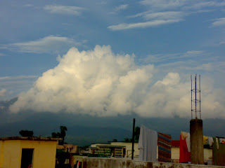
 Geography Of Haridwar
Haridwar District covering an area of about 2360 km², is situated at height of 249.7 m from the sea level between Shivalik Range in the North and Northeast and Ganges River in the South. Haridwar is also the first town at which Ganges falls from the mountains to touch the plain. There are many other small streams flowing that are seasonal. A large part of the ares is under forest cover. One can easily go to nearest Wildlife National Park- Rajaji National Part and Also see the Cheela hydro power plant. This national park is famous for wild elephants.
Weather of Haridwar
Haridwar City has the temperature similar to that of Delhi, that is extreme climate. The winters are very cold and summers are hot. However situated on the river bank and proximity to Shivalik range, the temperature is not that much unbearable as in Delhi. The maximum temperature goes up to 40 ºC in summers and in winters, the temperature falls down to 16 ºC in winters. The average rainfall throughout the year is around 2315.4 mm.
In recent times with developments of industries, pollution and increase in the number of visitors, the Weather of Haridwar has changed and degraded.
Haridwar Travel Tip- Haridwar is visited throughout the year and the dip in the cold water at har ki pauri is refreshing in summers while the weather of haridwar for sightseeing in winters is awesome.
